Zenmuse L3 LiDAR with 1535 nm laser, up to 950 m range at 10 per cent reflectivity and 16 returns per pulse.
Dual 100 MP RGB mapping cameras capture colourised point clouds and orthophoto imagery in one flight.
D-RTK 3 Multifunctional Station with tripod for centimetre-level positioning independent of mobile network coverage.
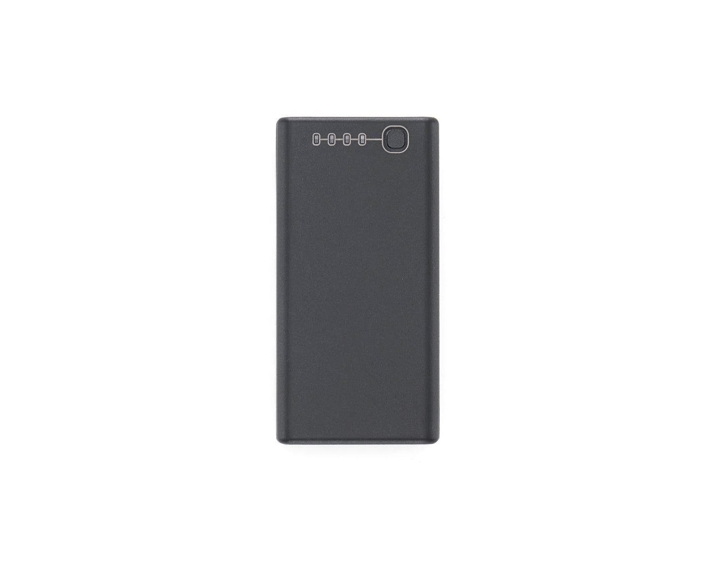
Three TB100 batteries and a BS100 station keep the aircraft cycling through a full survey day.
Matrice 400 carries up to 6 kg payload with IP55 weather sealing and omnidirectional obstacle sensing.
Processes directly in DJI Terra for point cloud generation, terrain modelling and deliverable output.
Product description
A complete survey-grade aerial mapping kit, ready to fly on delivery. The bundle pairs the DJI Matrice 400 with the Zenmuse L3 LiDAR payload, a D-RTK 3 Multifunctional Station with tripod, three TB100 batteries and a BS100 battery station.
The Zenmuse L3 combines a 1535 nm long-range LiDAR with dual 100 MP mapping cameras, capturing dense point clouds and photogrammetry-grade imagery in a single pass. Sixteen returns per pulse means it reads ground surface through vegetation, not just canopy.
The D-RTK 3 station delivers centimetre-level positioning without relying on network coverage, which matters on remote sites. The BS100 keeps three batteries cycling so the aircraft stays working.
Suited to topographic survey, volumetric measurement, corridor mapping, forestry and infrastructure inspection. Training and operational setup can be arranged, so contact us to discuss your requirements.
Specifications
Aircraft: DJI Matrice 400
Max Payload: 6 kg (measured at the third gimbal connector at sea level; decreases with altitude)
Aircraft Weight: 5,020 g without batteries, 9,740 g with batteries
Ingress Protection: IP55
Operating Temperature: -20°C to 50°C
LiDAR Payload: DJI Zenmuse L3, 1535 nm, up to 950 m detection range at 10 per cent reflectivity (100 kHz)
LiDAR Returns: Up to 16 per pulse
Scanning Modes: Linear, star-shaped and non-repetitive
Mapping Cameras: Dual 100 MP RGB
Positioning: D-RTK 3 Multifunctional Station, RTK and PPK